App-écho smartphone
The field application, version 4.5. Two ways to install it on the phone, and access reserved for field accounts.
Who the mobile app is for
The mobile app is built for the field. It is open to organisations at user and sub-user level, whether farmers, wildlife rangers, shepherds or guest accounts.
It is not available to super-user and sub-super-user accounts, in particular governmental and institutional accounts, which work on the desktop version.
Whatever the profile, the app is the same: the same modules, the same data, the same way of working.
Two versions
The écho application comes in two smartphone versions. Both open the same modules and show the same data. The choice depends on the phone, and on what you expect from the alerts.
PWA, simple and universal
It runs straight from the browser, or installs on the home screen to receive notifications like a real app. It works on any phone, but stays limited to browser notifications.
Native iOS and Android application
More capable, it lets you choose the alert ringtone and fits more closely into the phone.
How to tell them apart
Each version has its own logo and a few design differences that make it recognisable at a glance.
Available in French, German, Italian and English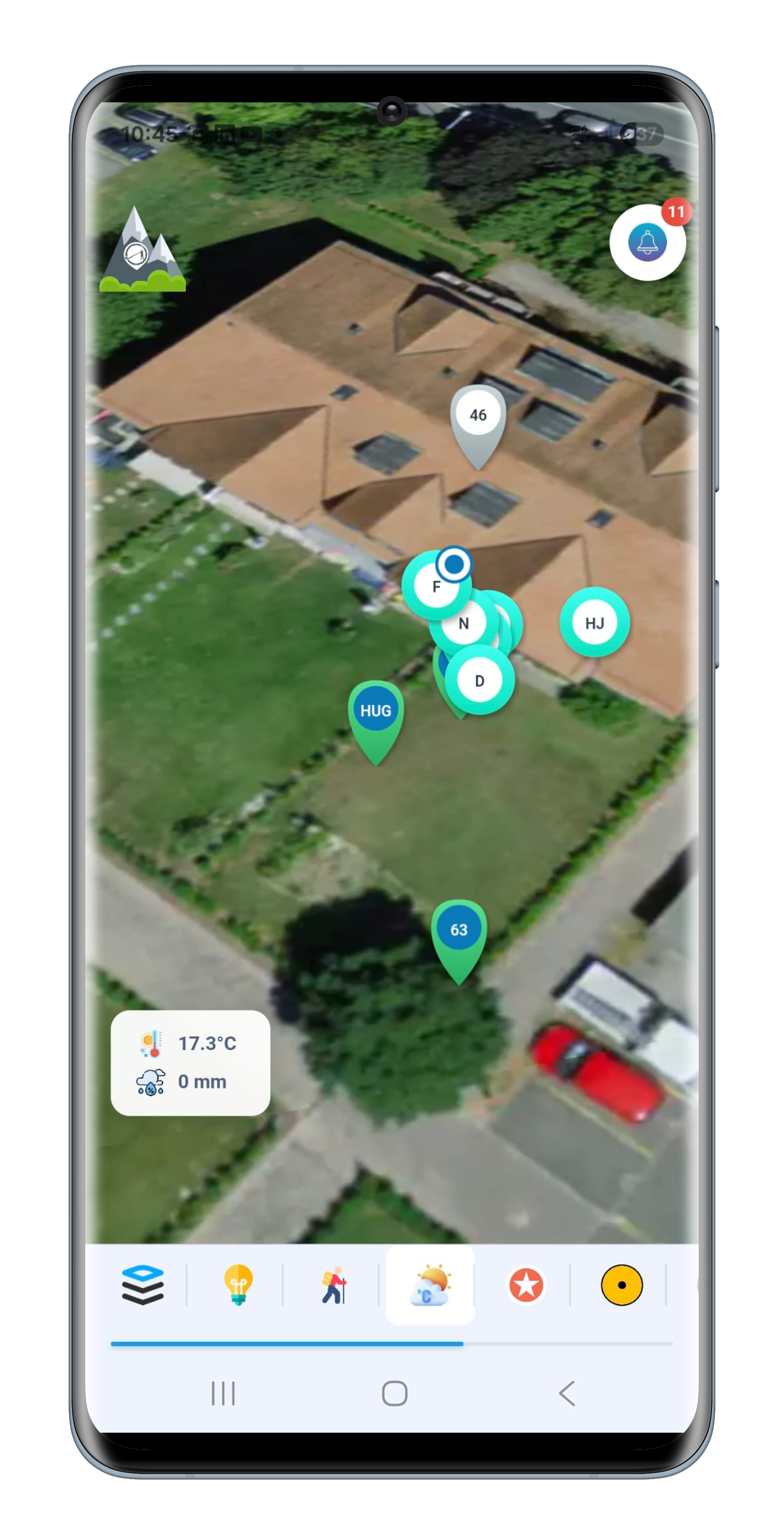

The dashboard
The dashboard is the panel that slides in from the side through the écho button, always within reach in the app. This is where you move from one module to another, without ever going back to a home screen.
It opens on the state of the farm: number of devices, number of geo-zones and time of the last connection. Below, the modules are sorted into three families: Maps for what is happening now, History for what has happened, Management for everything that gets configured. The open module stays highlighted, and logging out sits at the bottom of the panel.
- Three families Maps, History, Management, each with its own colour, so a module is found rather than hunted for.
- Farm status at the top Devices, geo-zones and last connection, refreshed automatically.
- Current module marked The open entry stays highlighted until you switch.
- Refresh A button re-reads the data from the server.
- Log out At the bottom of the panel, away from the modules.
The list of modules changes with each version of the app. The dashboard adapts; its structure in three families stays the same.

 Devices
24
Devices
24
 Geo-Zones
6
Geo-Zones
6
 Last connection
08:12
Last connection
08:12
 Maps
Maps
 History
 Management
Messages
The button at the top right carries the unread count. Crossing, incursion, at-risk activity, equipment theft, collective activity, share left undone, news: every alert arrives with the zone and the animal concerned, and stays until you clear it.
An at-risk activity alert cannot be cleared with one gesture. It first waits for your answer from the field: true, false or don't know. That reply is what sharpens the system.




Assisted by artificial intelligence
Heidi
In the analysis modules the message button turns into Heidi's avatar. One tap, and she picks up the calculation you have just displayed to read it through with you, in conversation.
From the messages she is reachable at any time, on four themes: predators, climate, husbandry, economics. She answers in your language and opens the matching tutorial when useful.
The modules
They are presented in the order of the dashboard, in the same three families and the same colours, so you find them in the app without thinking.
Maps
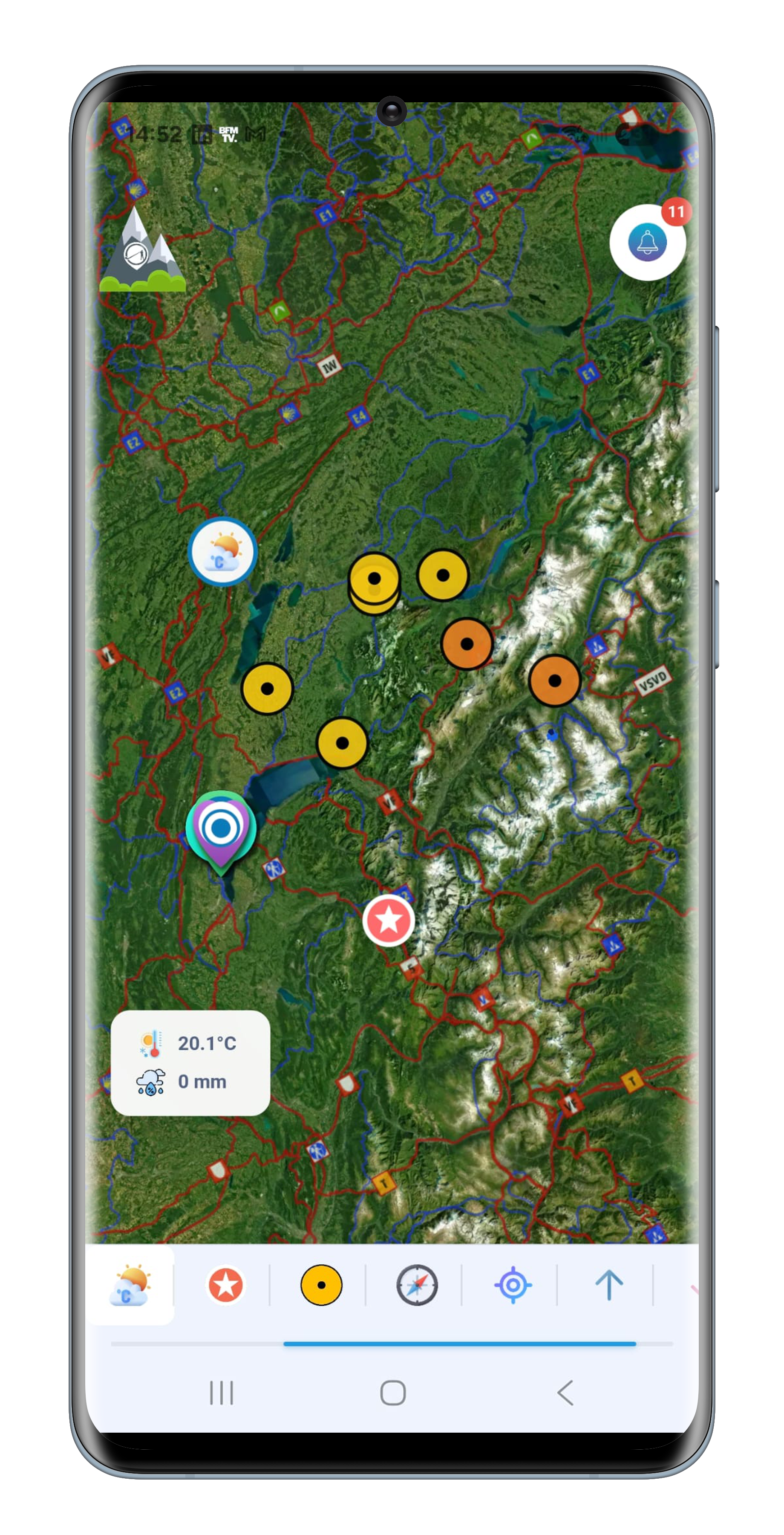
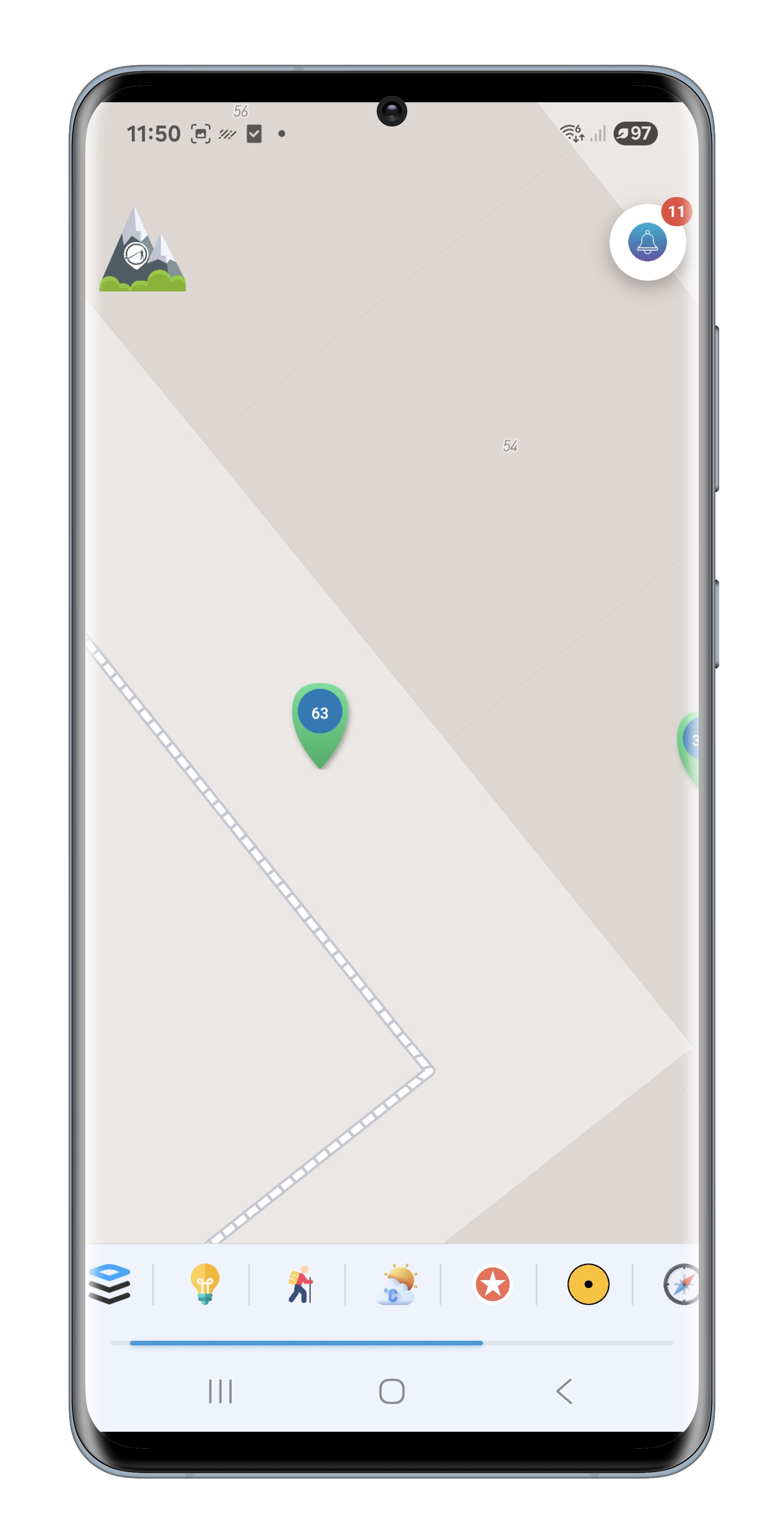
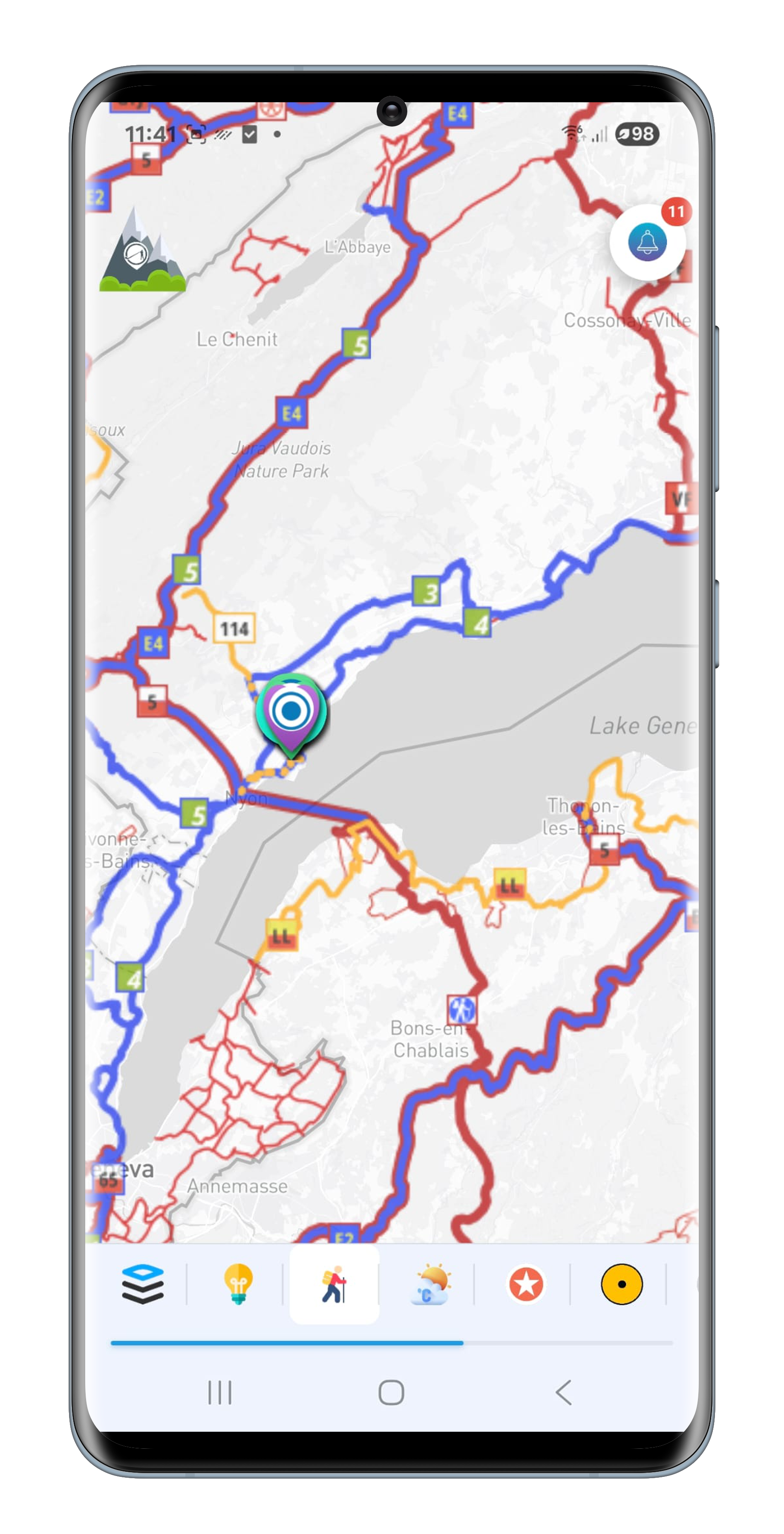
Live 2D
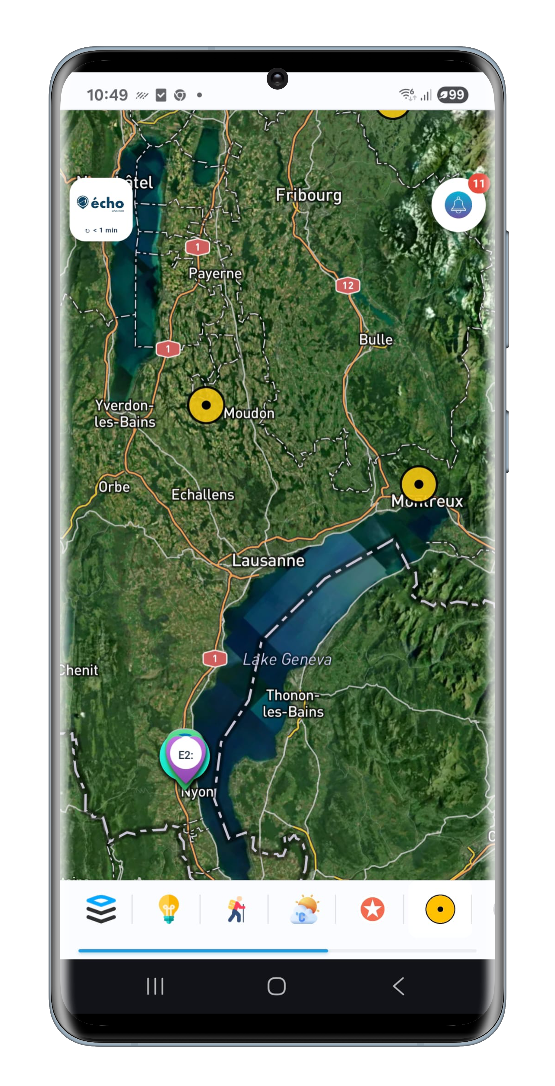
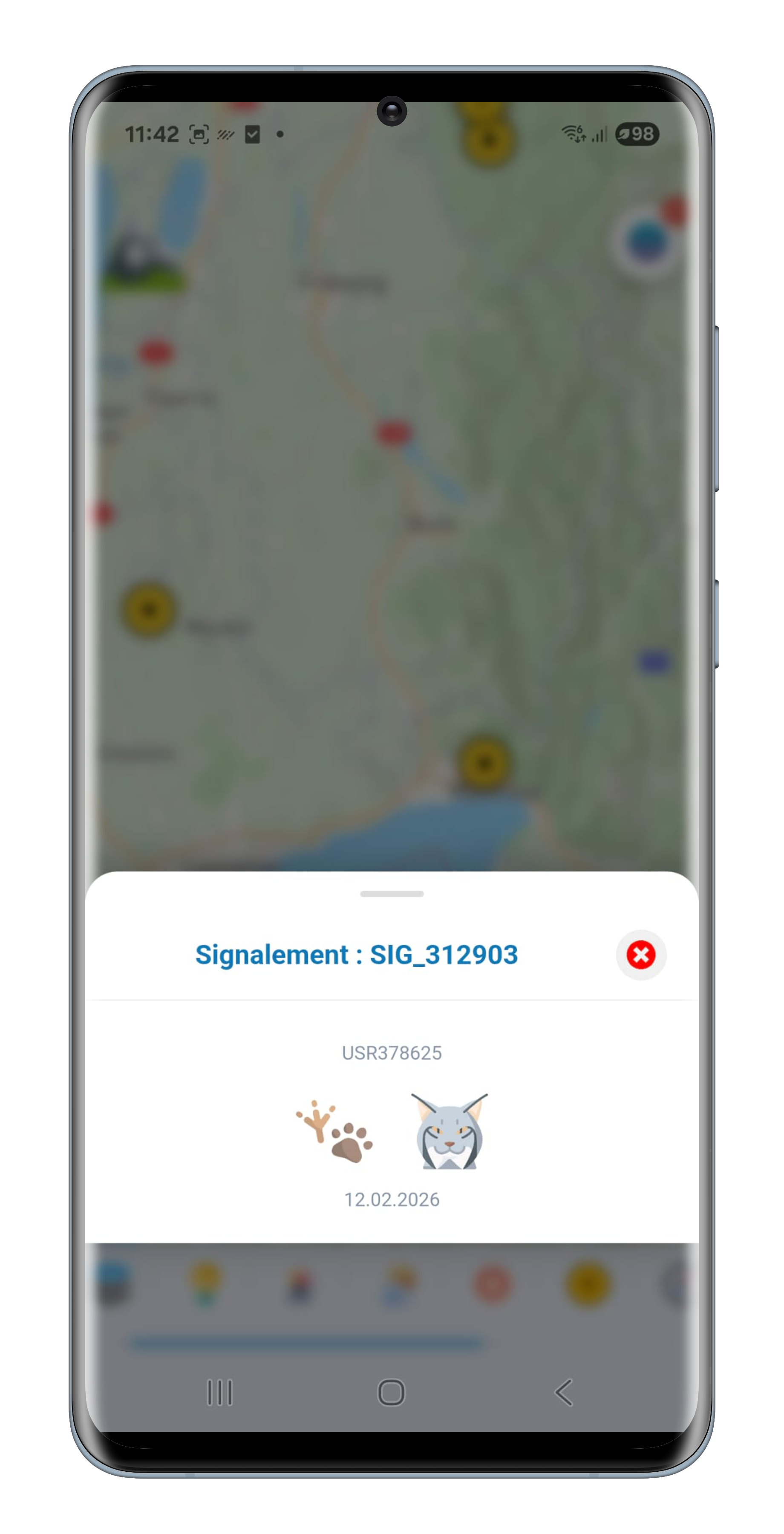
The farm's real-time dashboard. Equipped animals and equipment appear together on the map, with their activity, their battery and their continuously refreshed position. Every marker opens a full sheet.
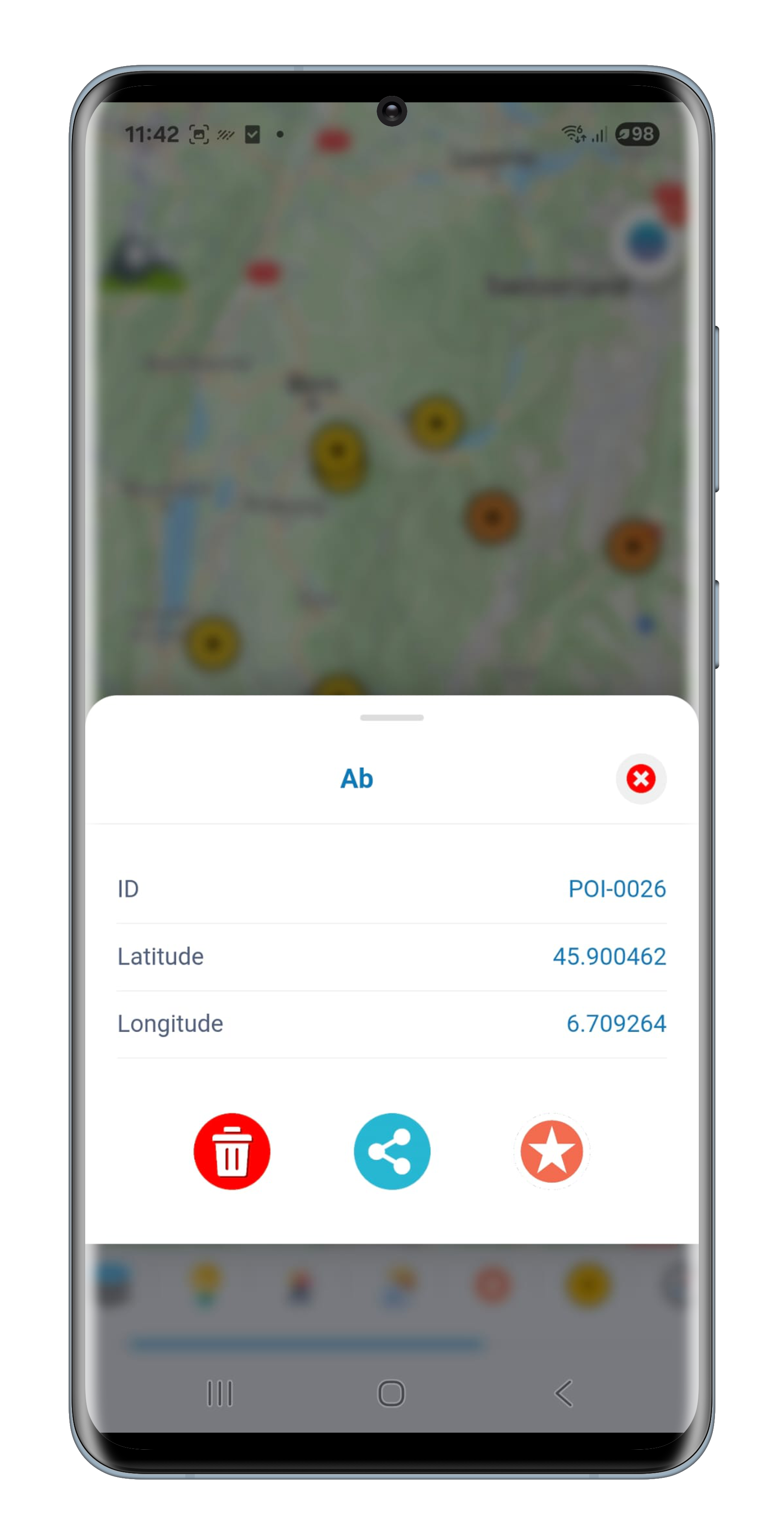
On top, you show or hide your geo-zones and sub-zones, your points of interest, your predator reports, the hiking trails and the current weather. Eight base maps, from satellite to relief.

Live 3D
The same monitoring, laid on the real relief. The ground is three-dimensional, each animal a marker coloured by its activity, each piece of equipment a post, and the geo-zones follow the slope. In the mountains you finally see what a flat map cannot show.
The écho satellite imagery overlays it in five readings: true colour, vegetation, false colour, water and moisture, with adjustable opacity. An overlay adds summits, cadastre, roads and watercourses when needed. The weather comes from placing a marker on the ground.
 History
Heidi comes with you in this family. One tap on her avatar, and the calculation you have just displayed becomes a conversation: what is normal, what is not, and what is worth a look next.
2D animations
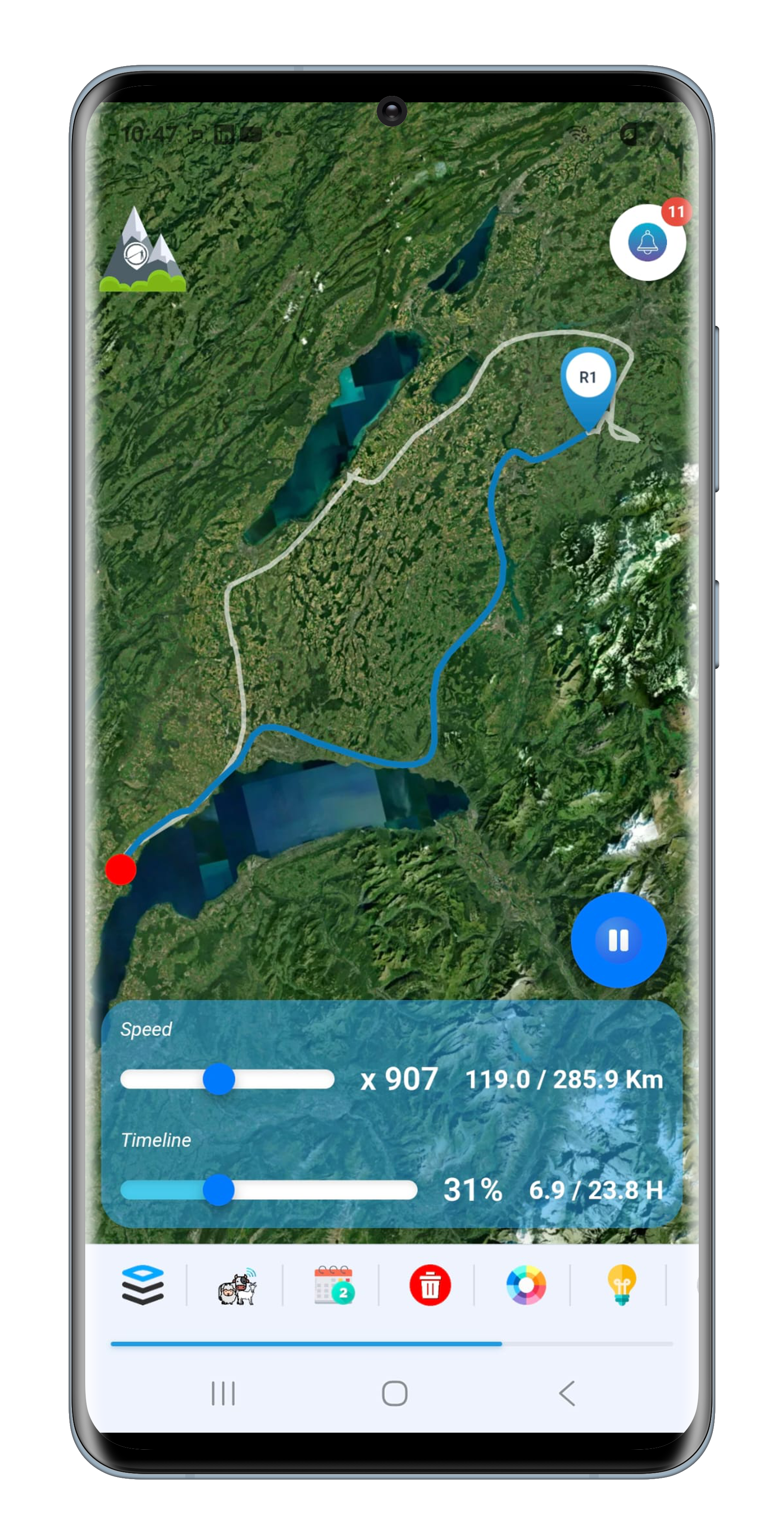
Replay the season. You pick your animals and a period, and the herd sets off again before your eyes on the satellite background, each with its letter and its colour, all on the same clock.
Up to six animals at once, from real time to two thousand times faster. You see who follows whom, who falls behind, and the moment the day turned.
Routes
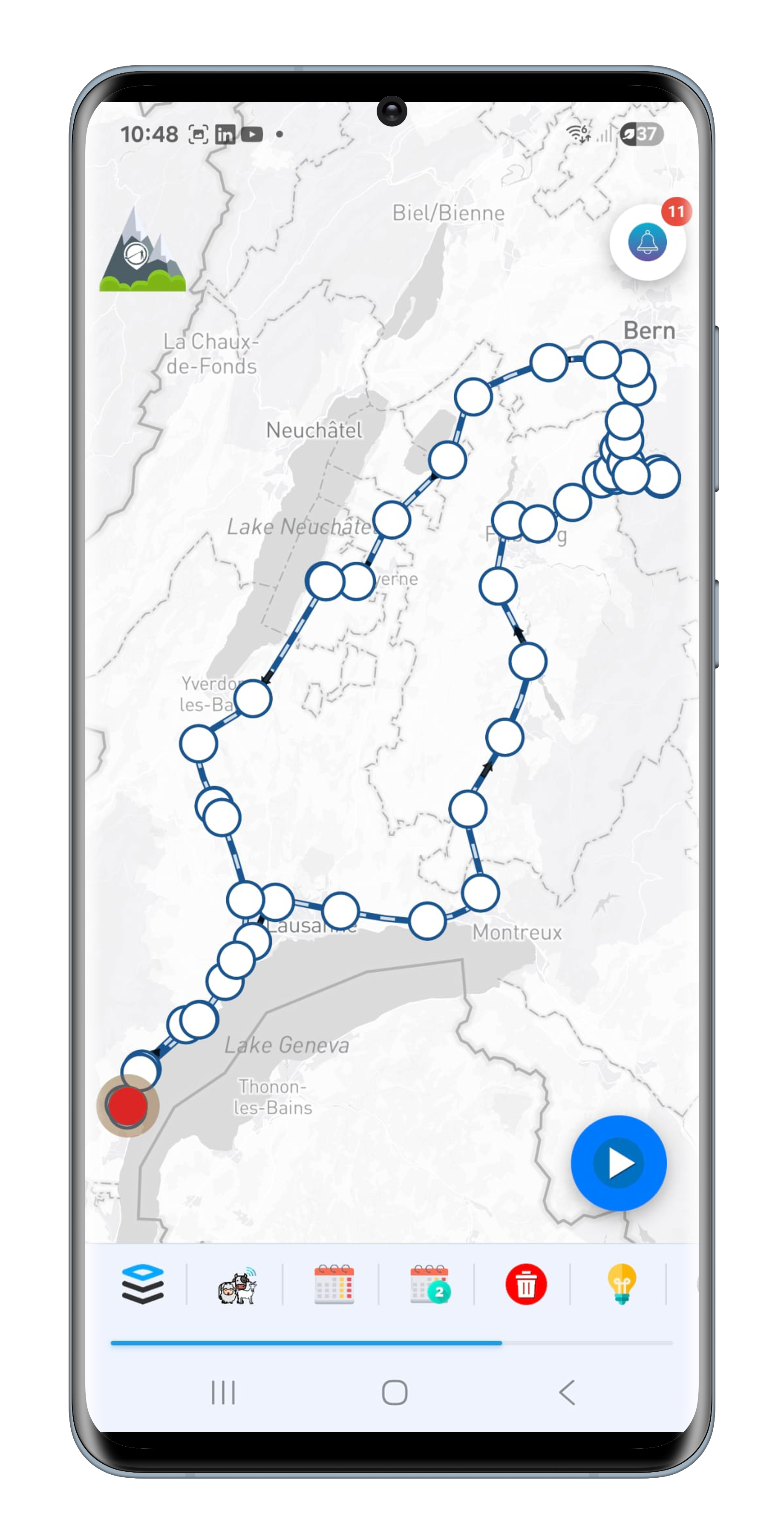
The whole route, laid on the map at once. Where the animation runs the clock, Routes freezes it: the day sits before you in a single glance, with the direction of travel, the stops, and up to ten animals overlaid for comparison.
Every point can be tapped and tells its moment: time, activity, how long the animal stood still, altitude, elevation, weather. And the map's measuring tool measures whatever you need, from a water trough to a fence. This is the everyday module.
Interactions 3D
The most powerful module in the app. From the positions it rebuilds the surfaces the herd actually used, then divides them by what happened there: where the animals rest, where they grow restless, where they moved into at-risk activity.
A second reading shows how intensely each area is used, from a brief passage to a permanent stay, and a marker tells you for each sector whether it is occupied by day, by night, or without a break. All of it on the real relief, with the satellite imagery of the vegetation underneath.
Performance
Distance covered, locomotion duration, elevation gain, temperature, pressure, humidity, THI index, and how activity splits between rest, ordinary, extraordinary and at risk. Over a day or over a season, for one animal or for a whole batch.
A figure on its own says nothing. While the table appears, the module fetches the norm for the species, the size and the altitude. One tap on Heidi, and you know whether those values are high, low, or perfectly ordinary.
| Dist.km | DDLh | DDL% | Déniv.m | |
|---|---|---|---|---|
| Total | 42,6 | 18,4 | 26,3 | 1240 |
| Average | 6,1 | 2,6 | 26,3 | 177 |
| Max | 9,4 | 3,8 | 34,1 | 305 |
 Management
Geo-zones
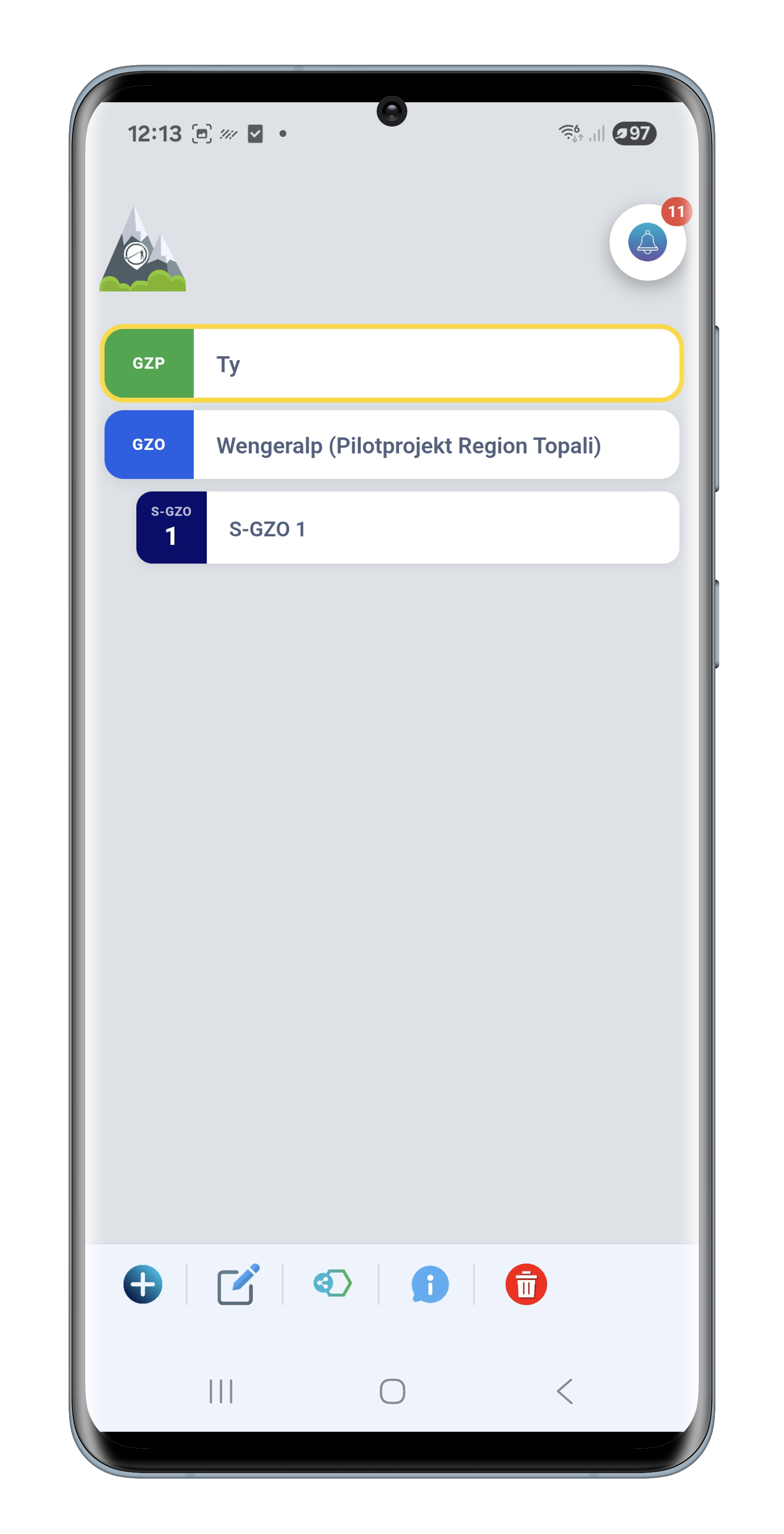
Everything starts here. Your pastures, your forbidden areas and the canton's official perimeters sit in a single list, each with its colour: green for yours, pink for exclusion, blue for official, and the sub-zones filed under their parent zone.
The system constantly checks each animal's position against those perimeters. A zone exit, an entry into forbidden ground: the alert goes out before you have noticed a thing. Official zones stay read-only; the cantonal administration alone governs them.
Geo-zones is the only module that opens others. The editor and the configurator open full screen on the map; to get back to the list, the blue half-circle pinned to the left edge, halfway down, stays available whatever tool is running.
Editor
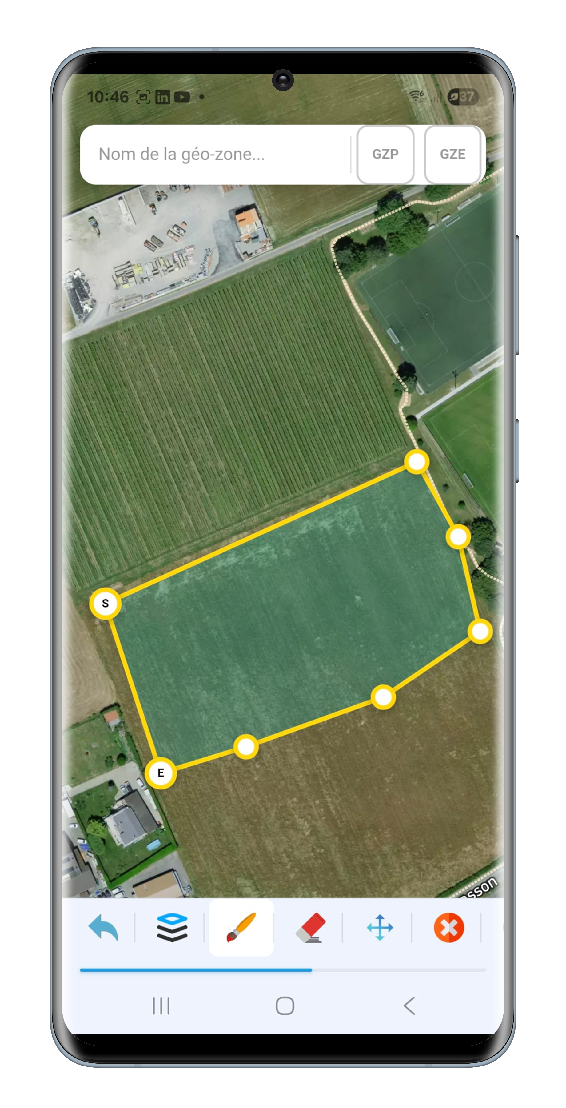
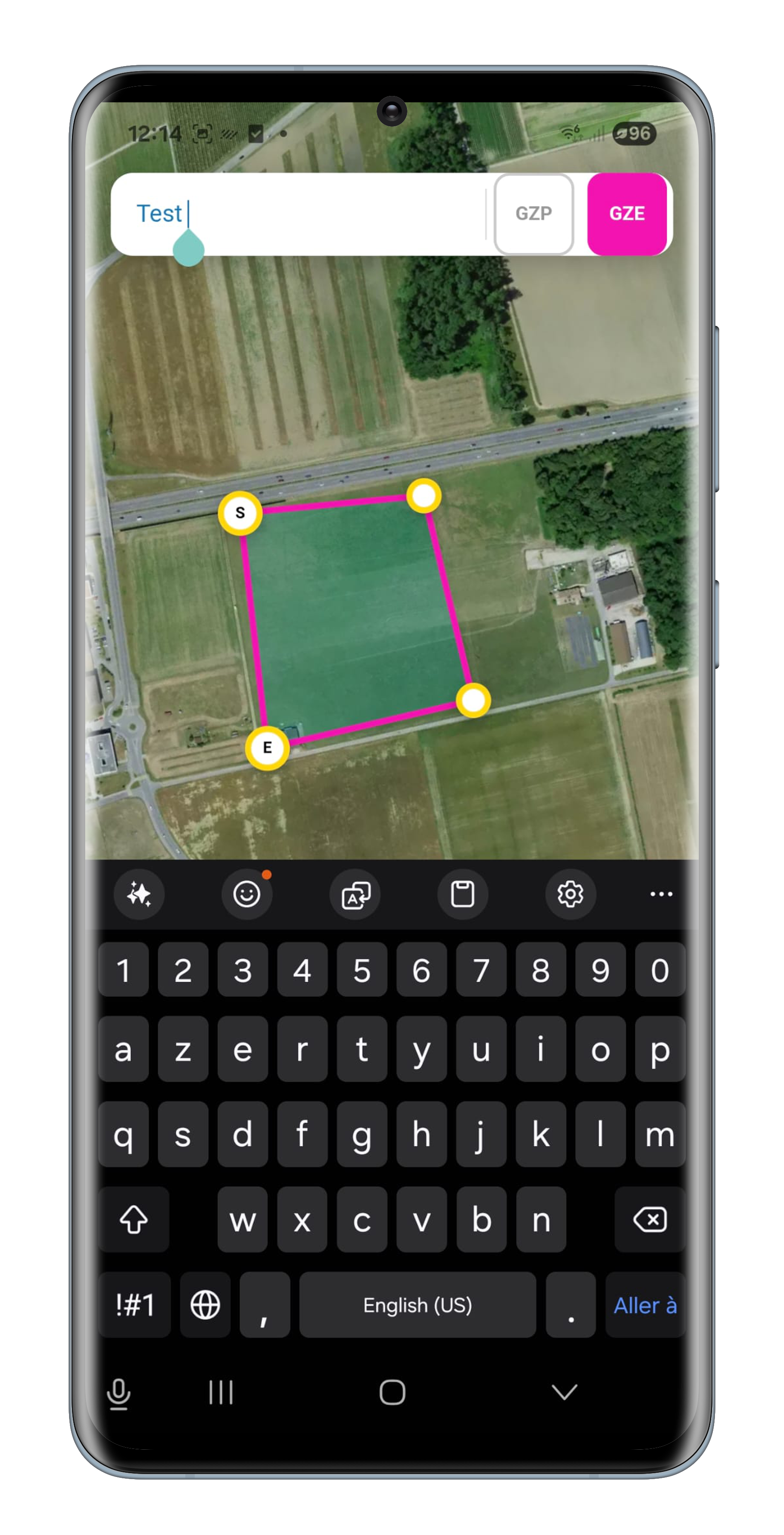
A finger on the map. A first point marked S, the next ones along the ground, the last marked E, and the zone closes itself. The eraser takes back the last point placed, the move tool fixes a rough outline without starting over.
Then name the zone and say what it is: pasture or exclusion. It goes live on confirmation, and is watched from that moment.

Prevention configurator
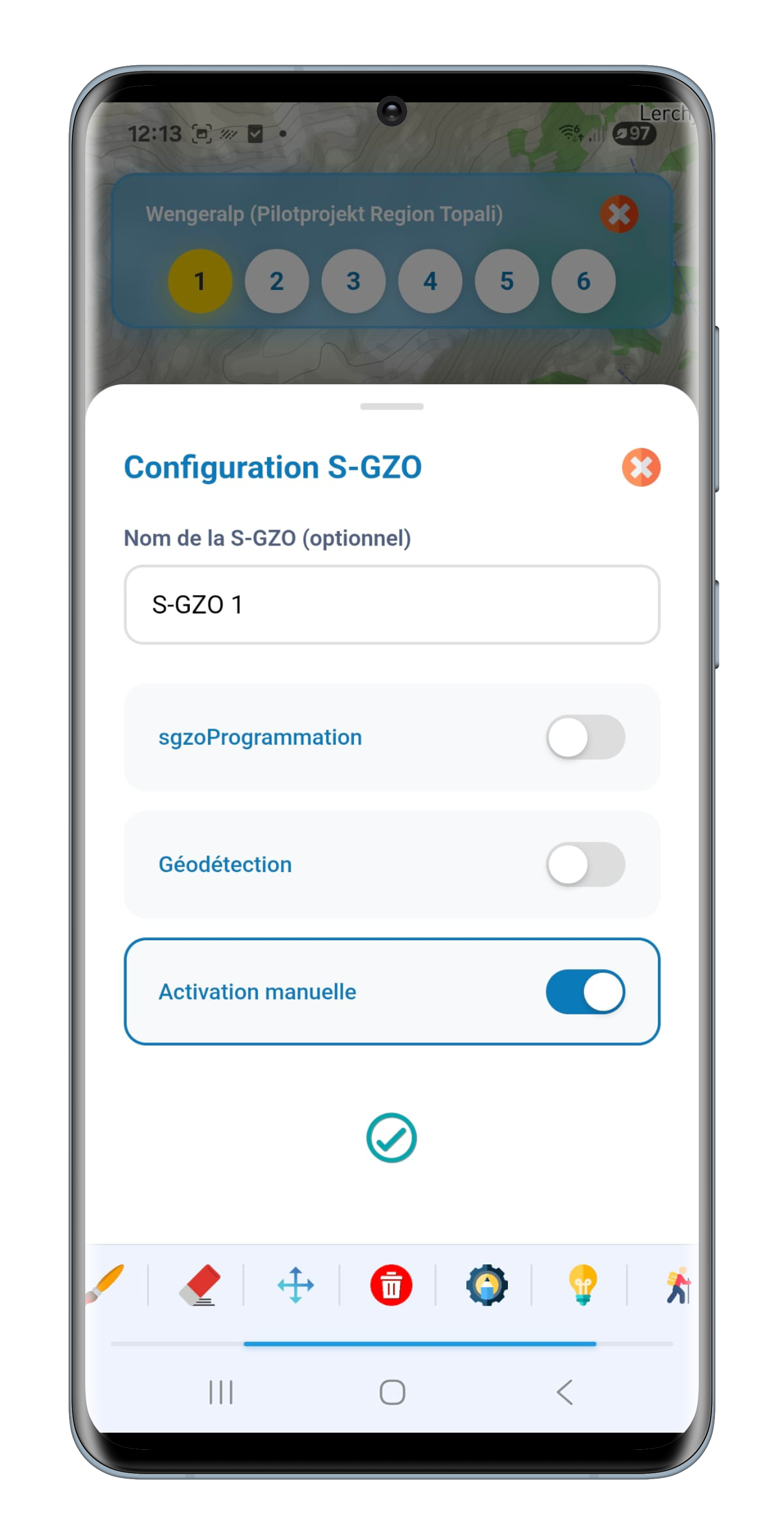
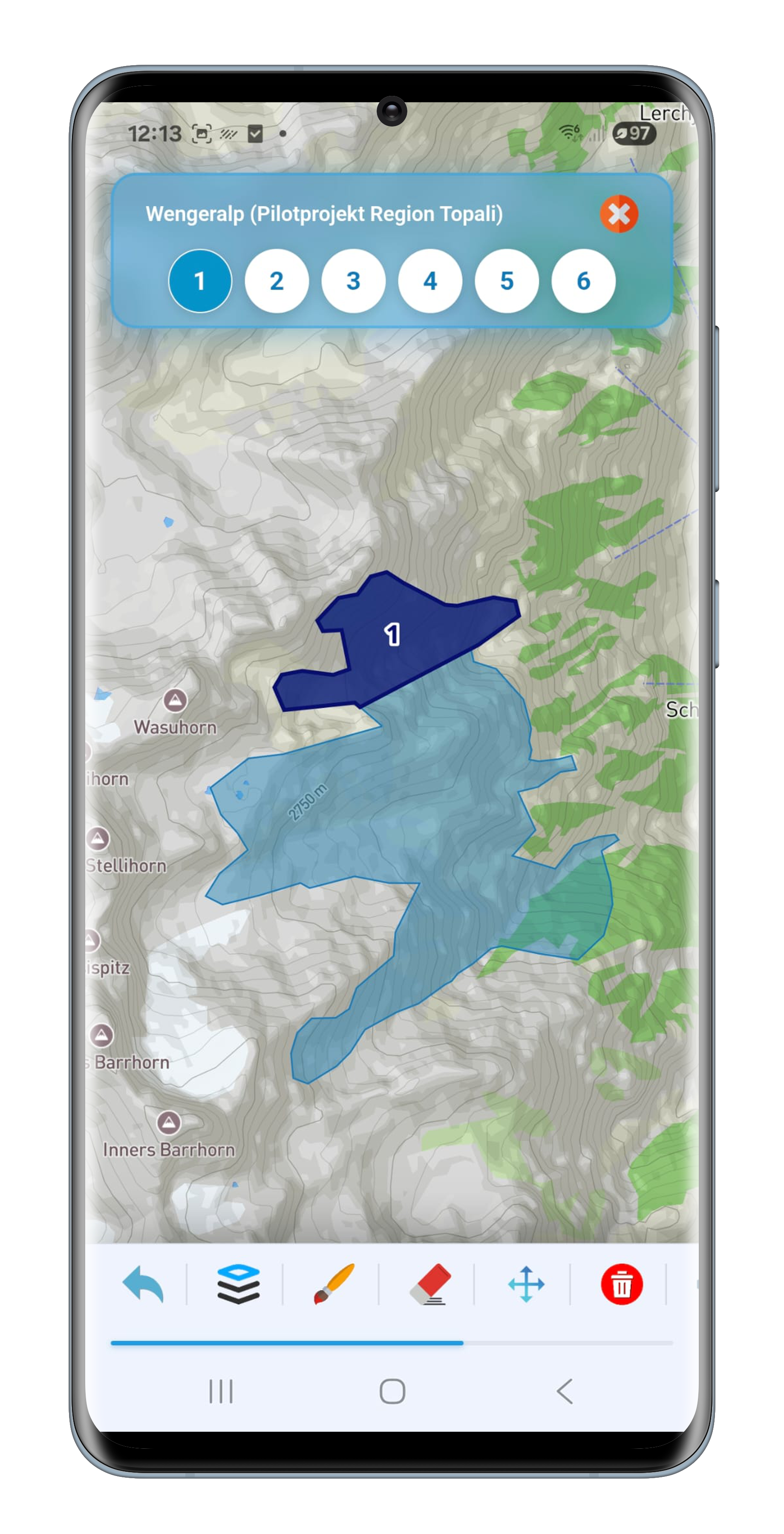
Reserved for official zones. You tap a GZO on the map and a bar appears with its six sub-zone numbers: white for a free number, blue for a sub-zone already set up, yellow for the one in hand.
You draw the sub-zone, then the configuration sheet rises from the bottom. Three modes, only one at a time: two date periods that start again each year, geodetection that arms the zone as soon as an animal walks in, or manual activation. This is where herd protection is decided.
Animals
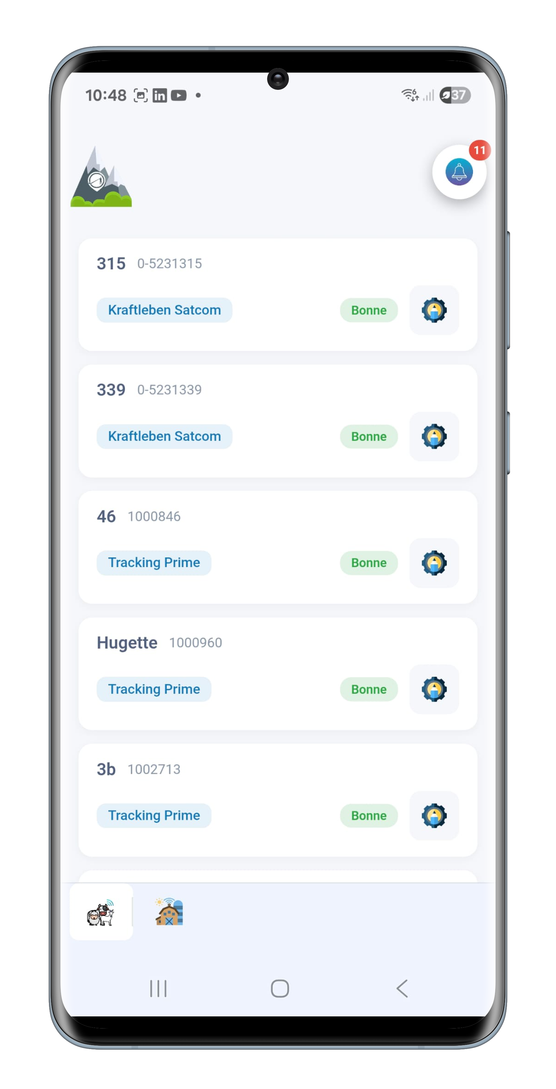
The animal first, the device after. Every head has its record: name, ear tag, chip, breed, sex, date of birth, coat, category and size. The collar is merely equipment assigned to it.
That is what makes the transfer possible. A collar fails, an animal leaves: you move the device onto another animal in two gestures, and nothing is lost. The history stays with the animal, never with the box.
For each equipped animal you then set the behaviour thresholds, the audio feedback and the crossing distance. Livestock guardian dogs are the exception: their identity comes from the canton and stays locked.

Equipment
Tracking for tractors, energisers, electric posts, trailers, vehicles, gateways and farm machinery is coming soon to the mobile app. This page will be completed when it goes live.
Groups
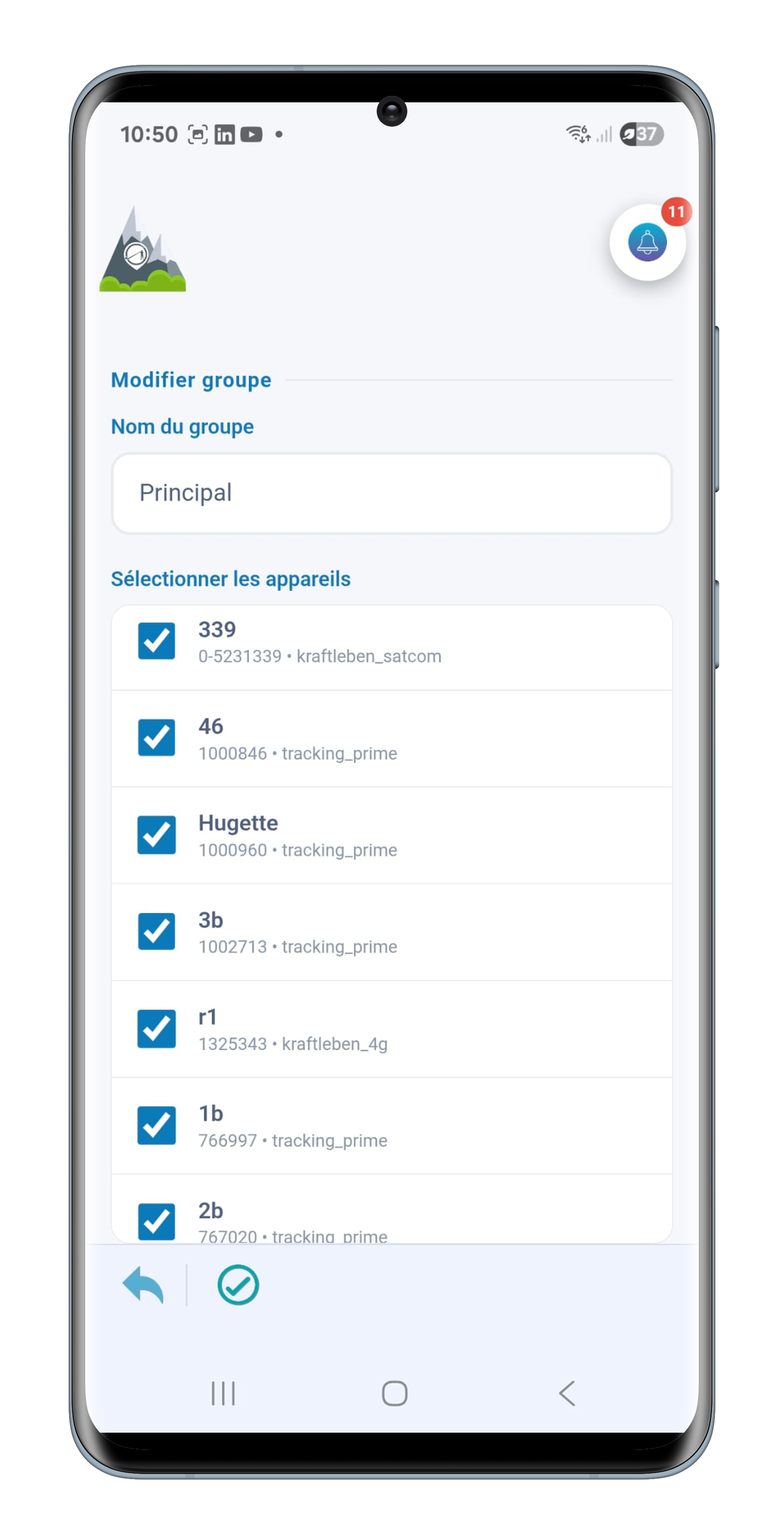
A name, a few head, and the batch exists. Groups are there to watch together what belongs together: the extraordinary activity alert fires on the whole group, and a geo-zone is assigned to the entire batch at once rather than animal by animal.
An animal belongs to only one group at a time. If it is already taken elsewhere, the list shows it with the name of the group holding it. No double membership, so no double alert.
Notifications
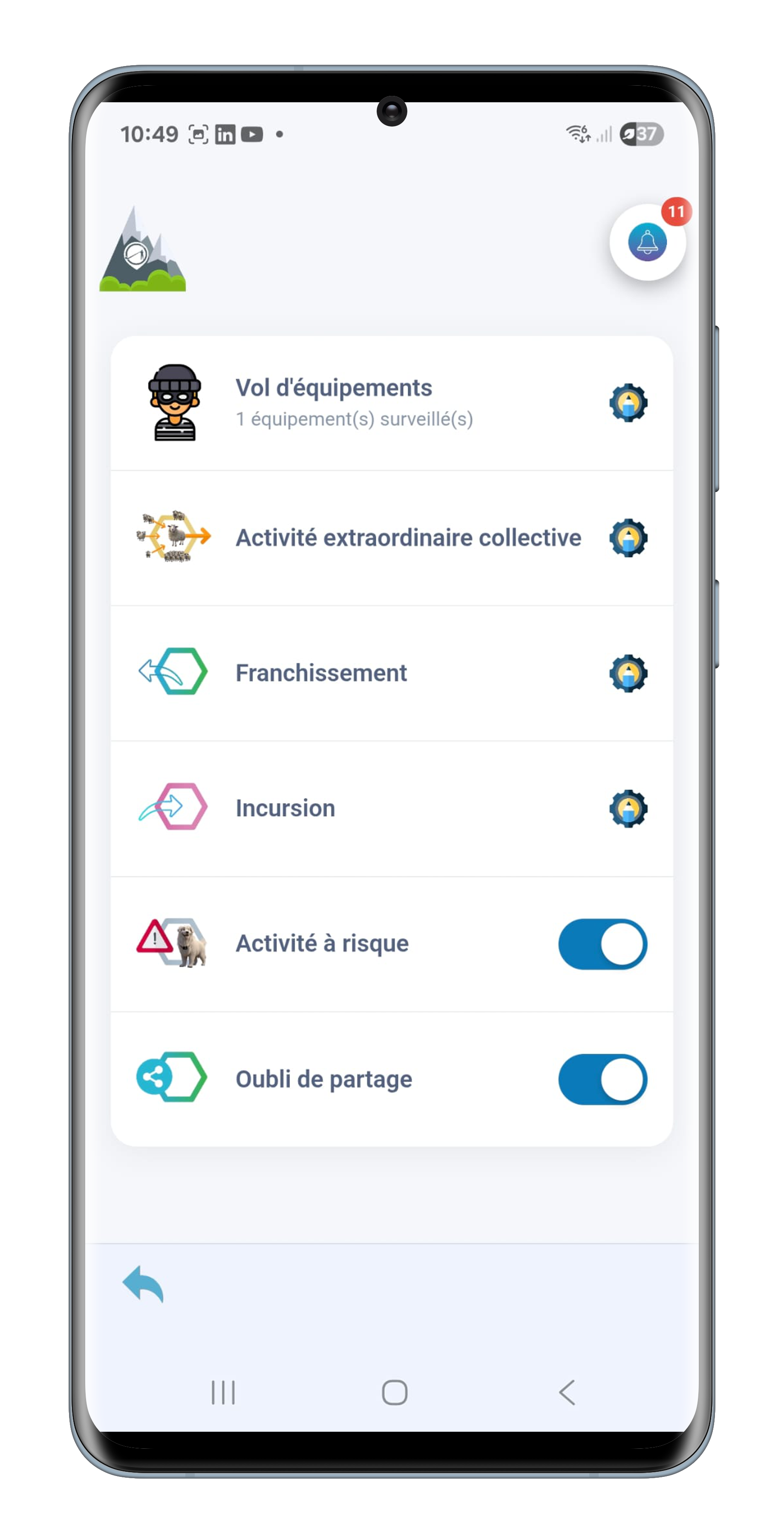
Six alert families, a single page to set them. The theft of a piece of equipment, the sudden unrest of a whole batch, leaving a pasture, entering forbidden ground, the at-risk activity of a single animal, and a forgotten share of an official zone with the authorities.
Each is set to your own rhythm: you choose the zone concerned, the groups or animals to watch, and two time ranges across the day. What should wake you at night wakes you; the rest waits until morning.
The analysis of at-risk activity by artificial intelligence is still under development.
Options
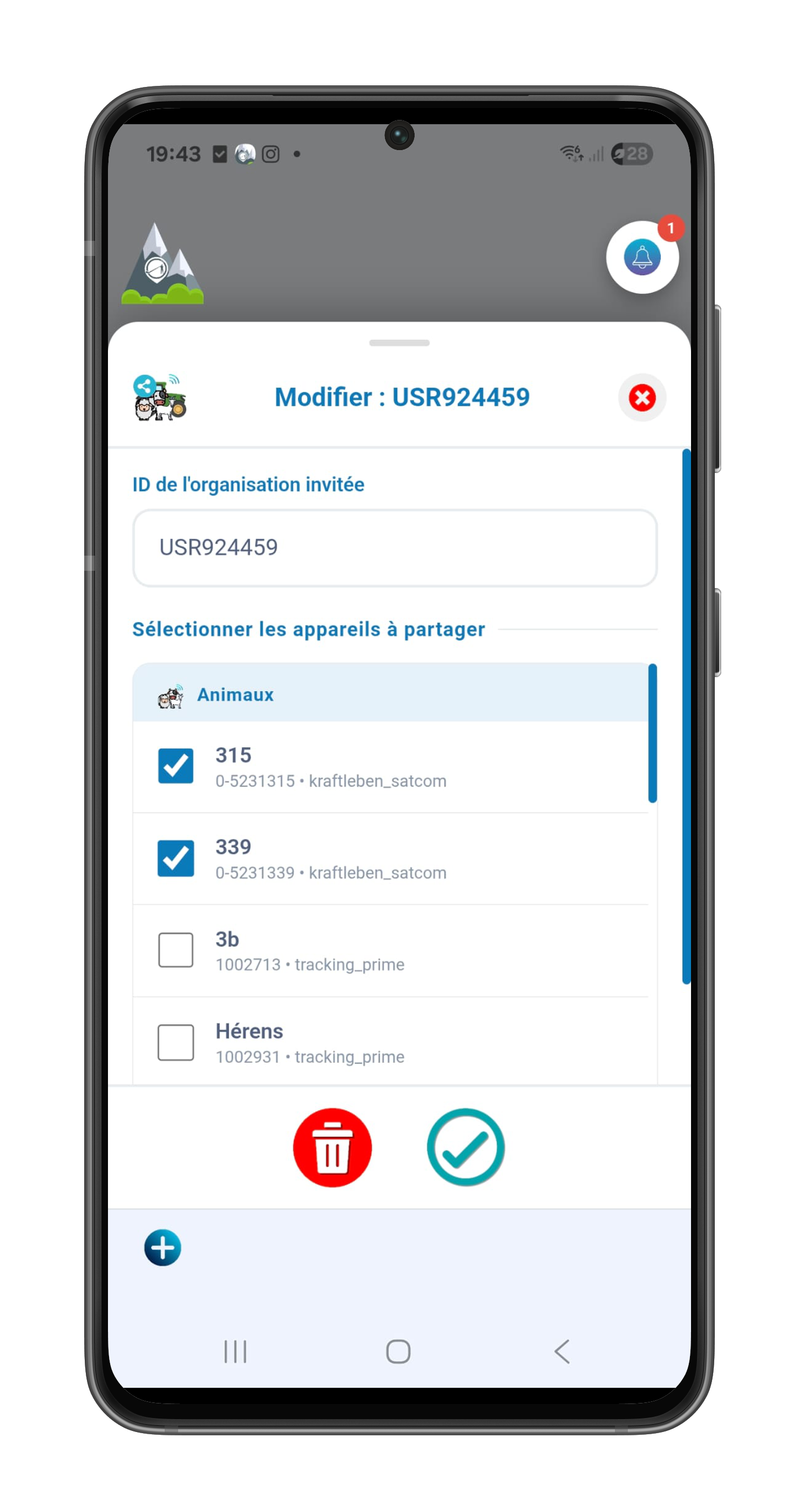
A boarding arrangement, a summer alp, a hand from a neighbour: you share your animals with another écho organisation for as long as it takes. They see them on their own map, in their own tools, with nothing to set up.
You give them your identifier, you tick the animals and equipment concerned, and that is all. The share runs one way, covers only what you ticked, and is withdrawn with one gesture. Only the organisation's main account can open or close it.
Settings
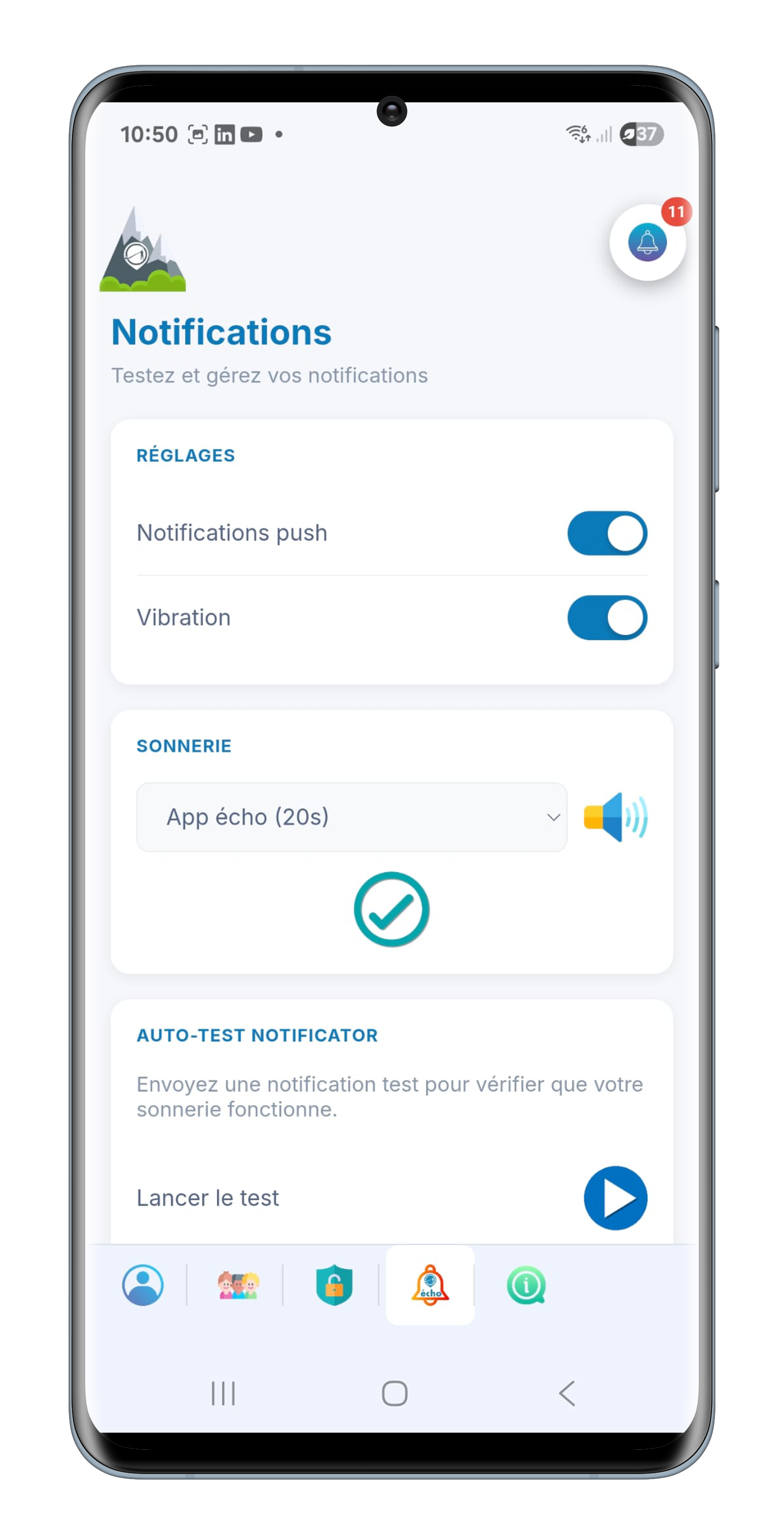
Five tabs in the bottom bar: your profile and the interface language, your organisation's sub-accounts, the password, the notifications, and the details about the app. Everything is stored in the database, so you find it unchanged on the desktop.
This is where you choose the sound that will wake you. Eleven ringtones, from a three-second ping to a twenty-second call, playable before you pick. Then a self-test sends a real notification to check the whole chain, from the server to the phone's speaker.
The Notificator self-test exists only in the native Android and iOS versions. On the PWA, only browser notifications are available.